Jenne, Wanda, Shoshana, Gizem
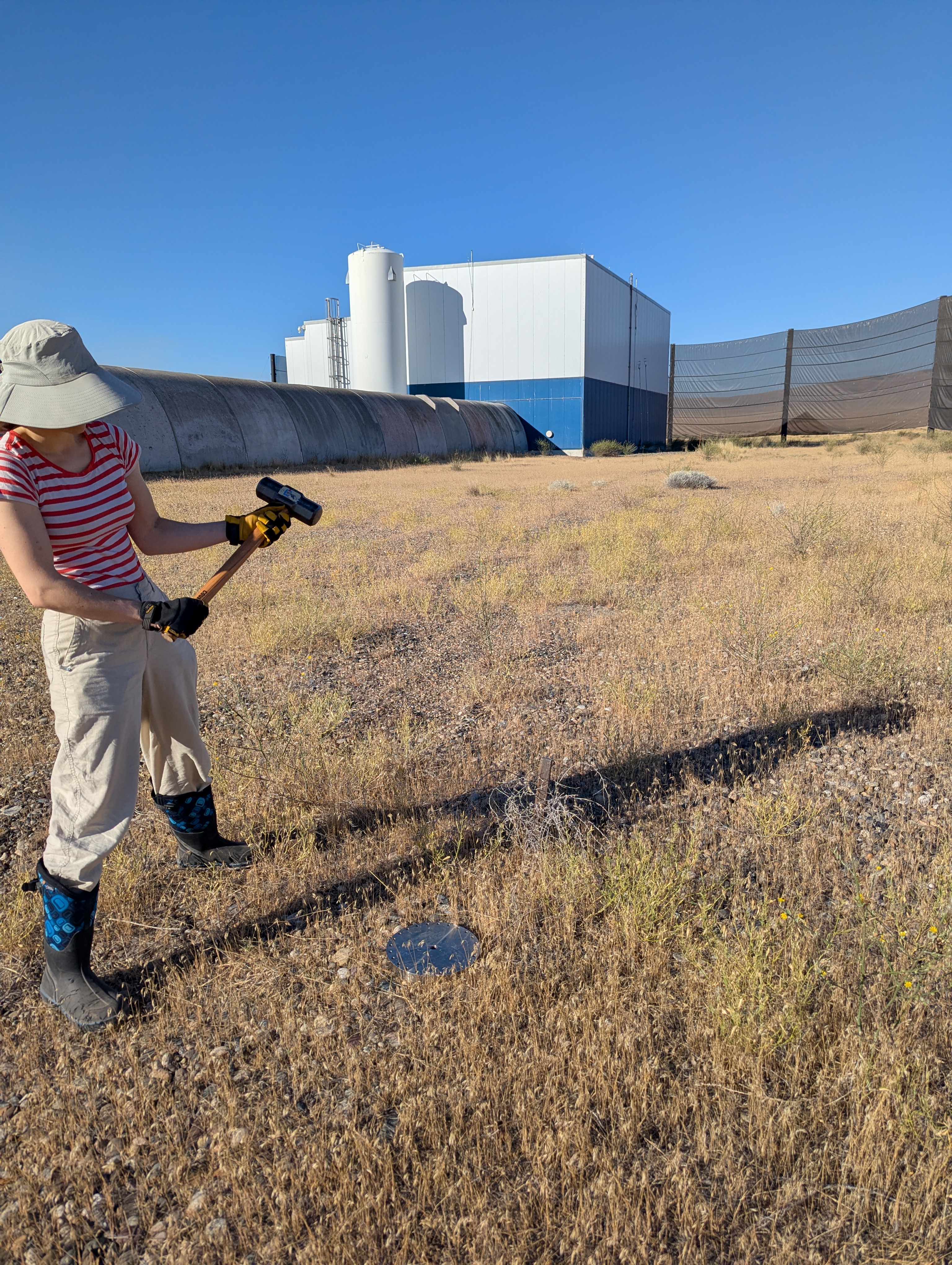
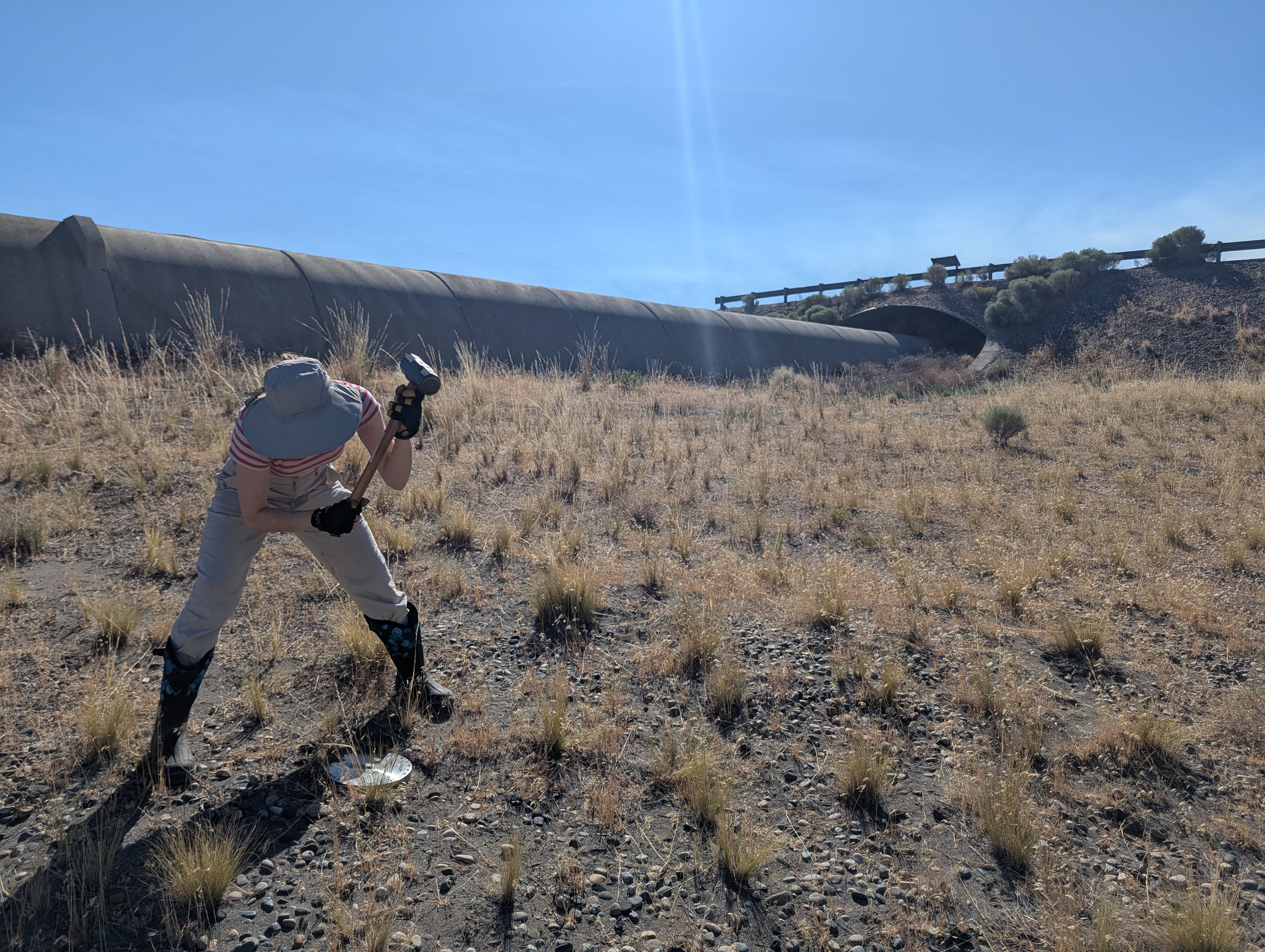
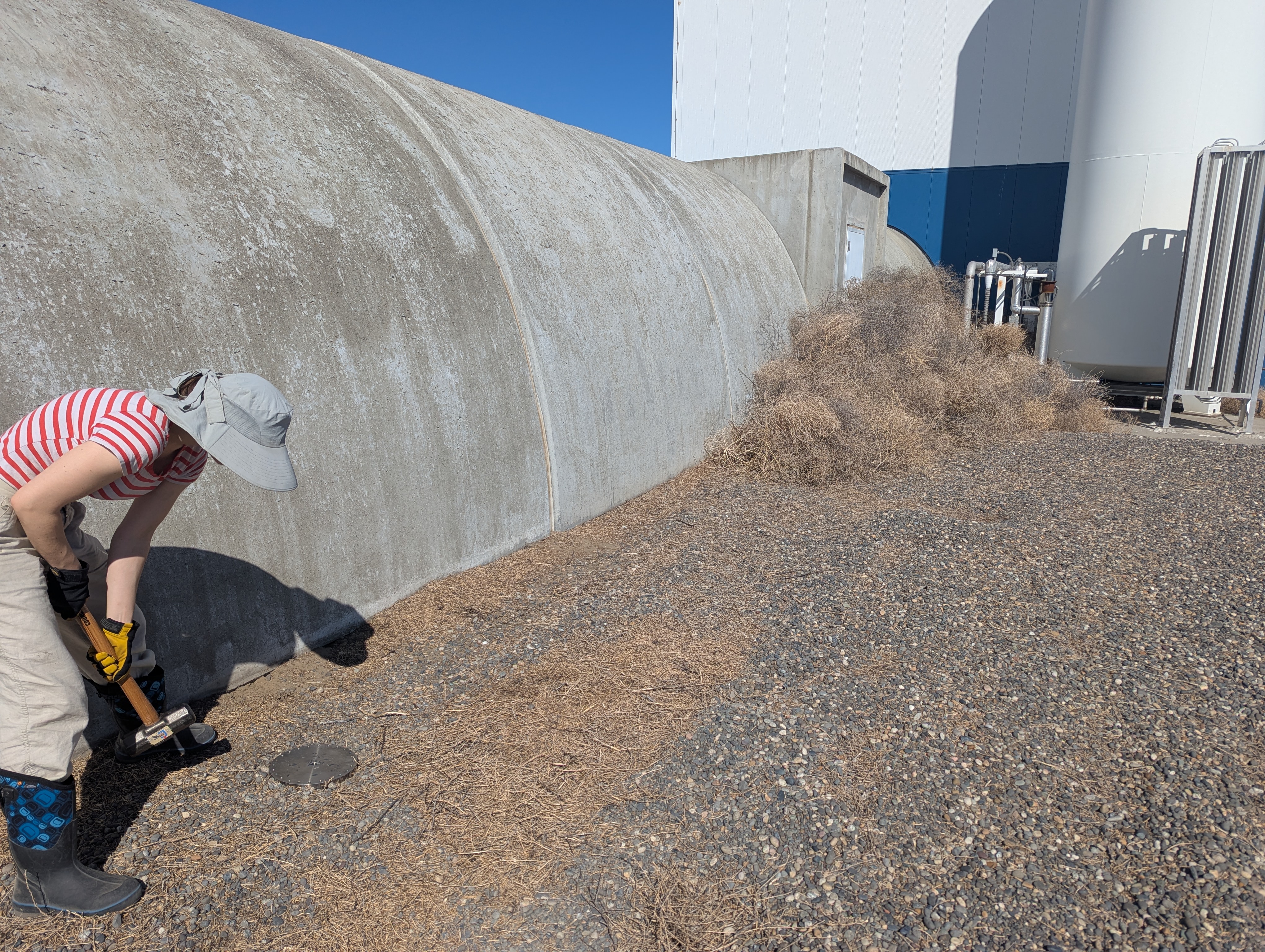
We started very early this morning to beat the heat, and performed 'tap tests' at various points along the length of the arms to identify positions along the length of the fiber (according to DAS) with GPS positions (according to Wanda's phone).
Spreadsheet attachment is information about where along the fiber Shoshana and Gizem identified our tapping in the data, and associated time stamps. I've also copied the spreadsheet data to a google sheet, so that we can add to it.
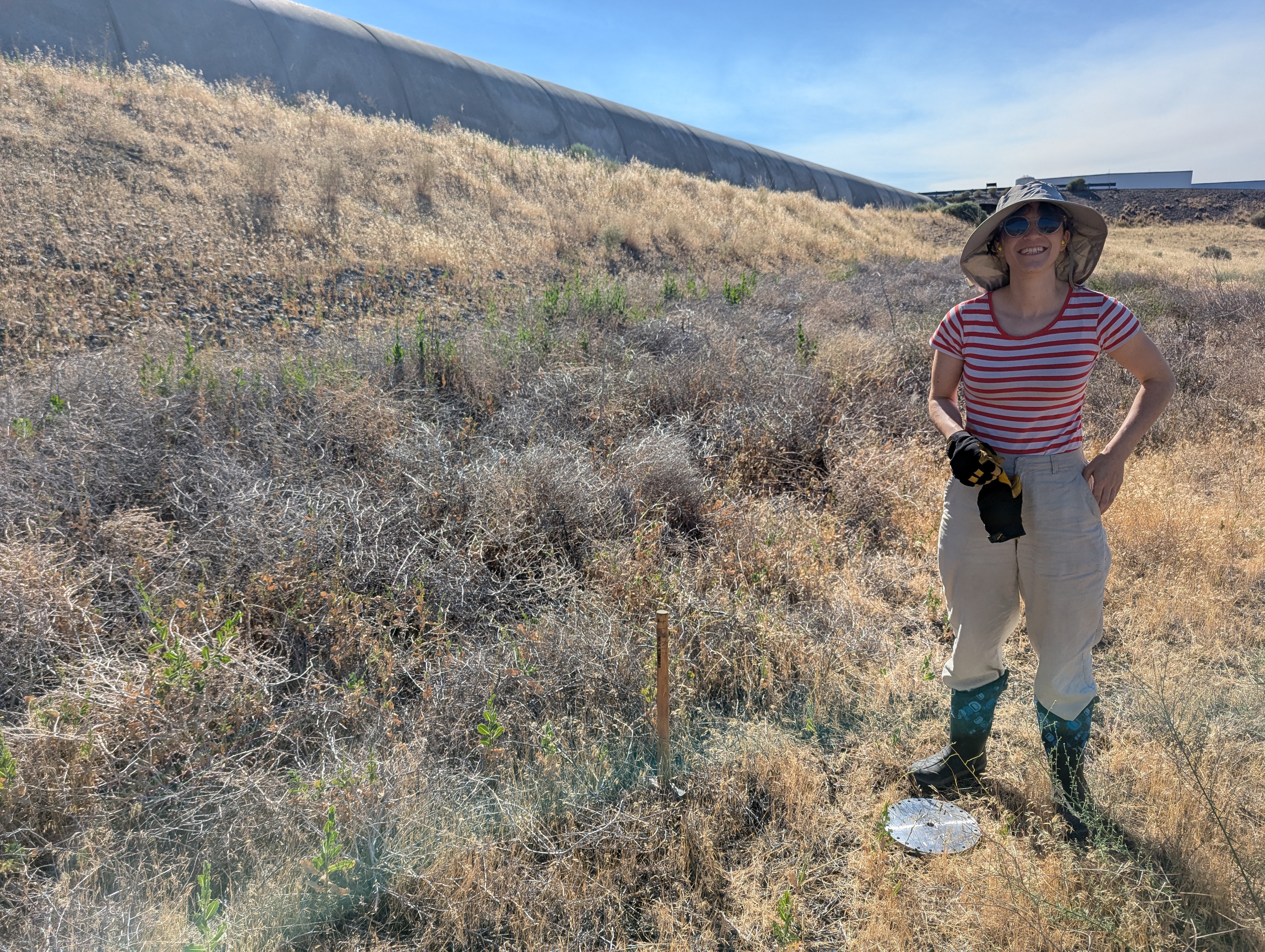
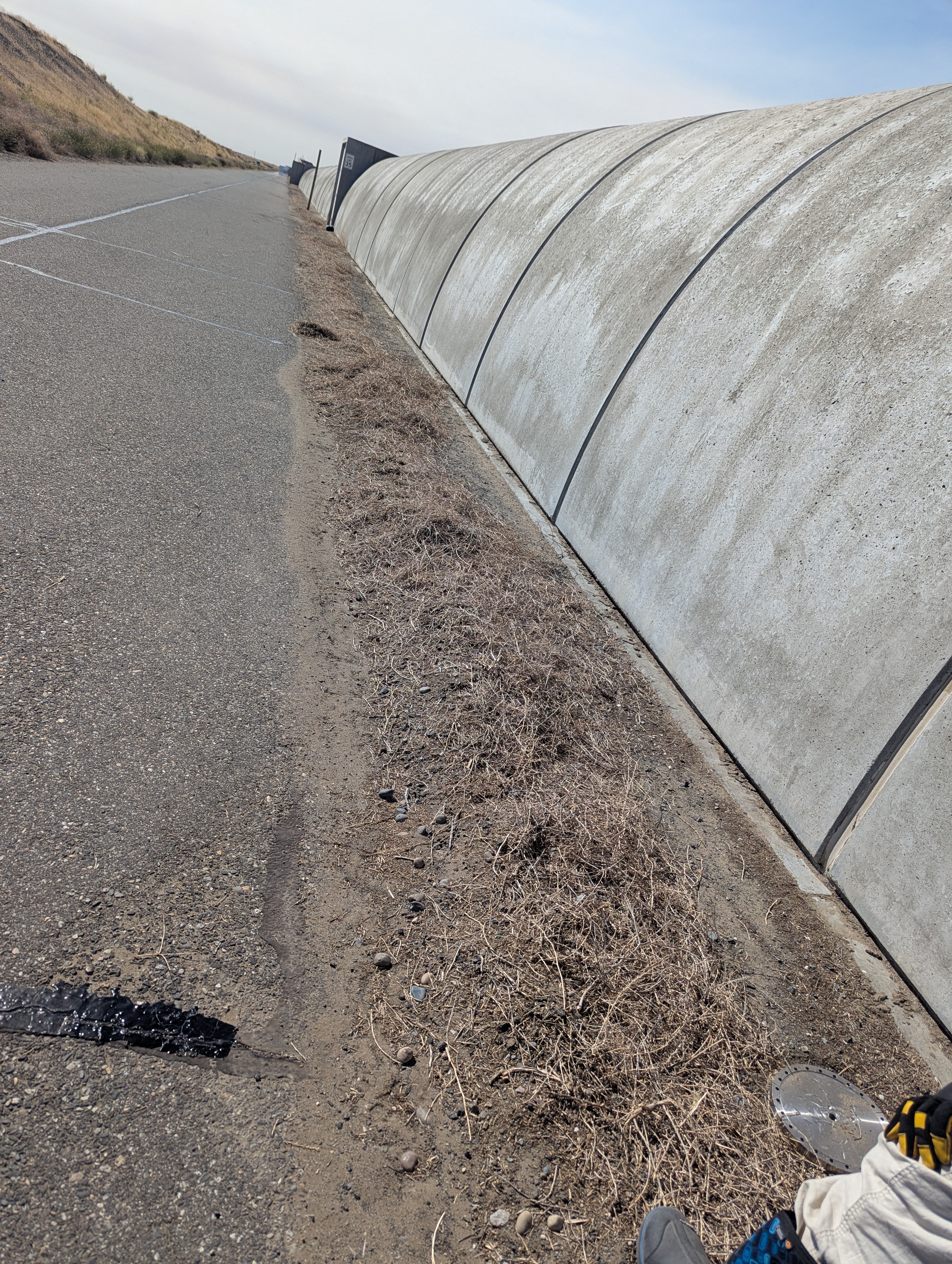
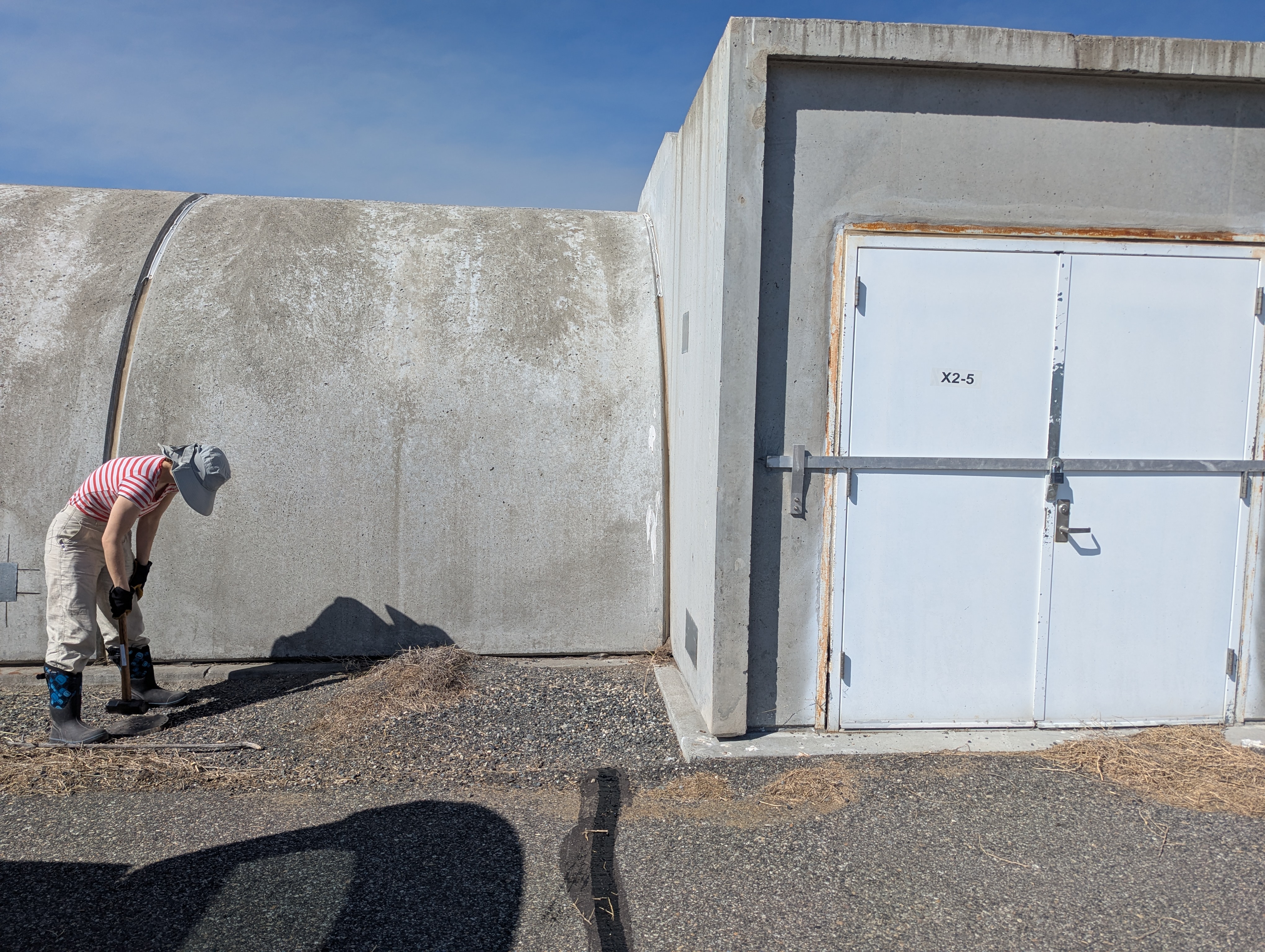
We tried to do more dense taps on the 'inside of the vertex' side of the arms, where the fiber actually is. This required some walking out in the sand along the arms, so we had sun hats and knee-high boots and plenty of water. We also did a few taps along the road during our drive back, to get some more coarse information along the length of the arms. At the Xend station, there were too many tumbleweeds for us to walk along the inside-vertex side of the arm, so there at EX we did our more dense taps along the road side, with the exception of the EX vault location.
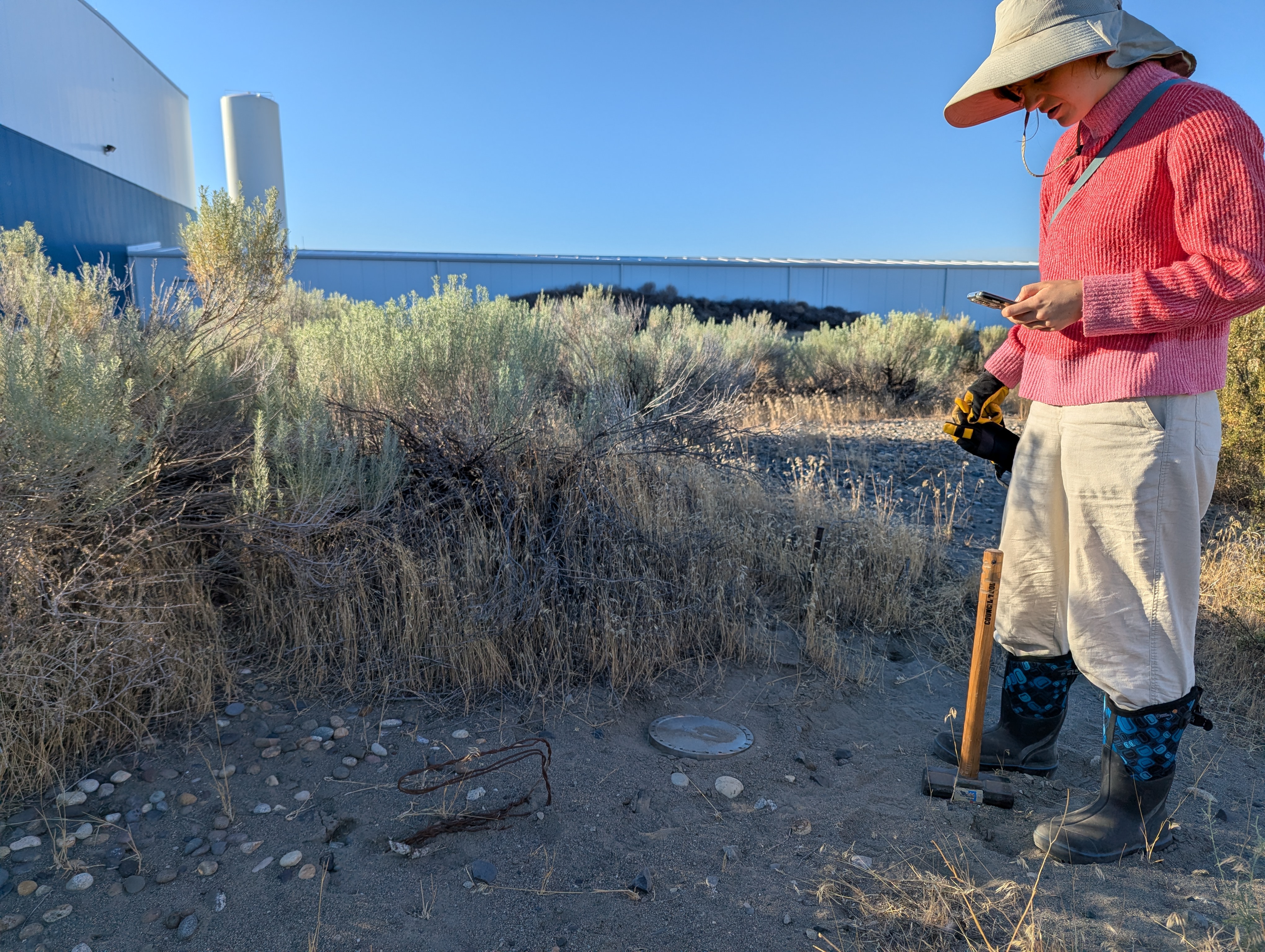
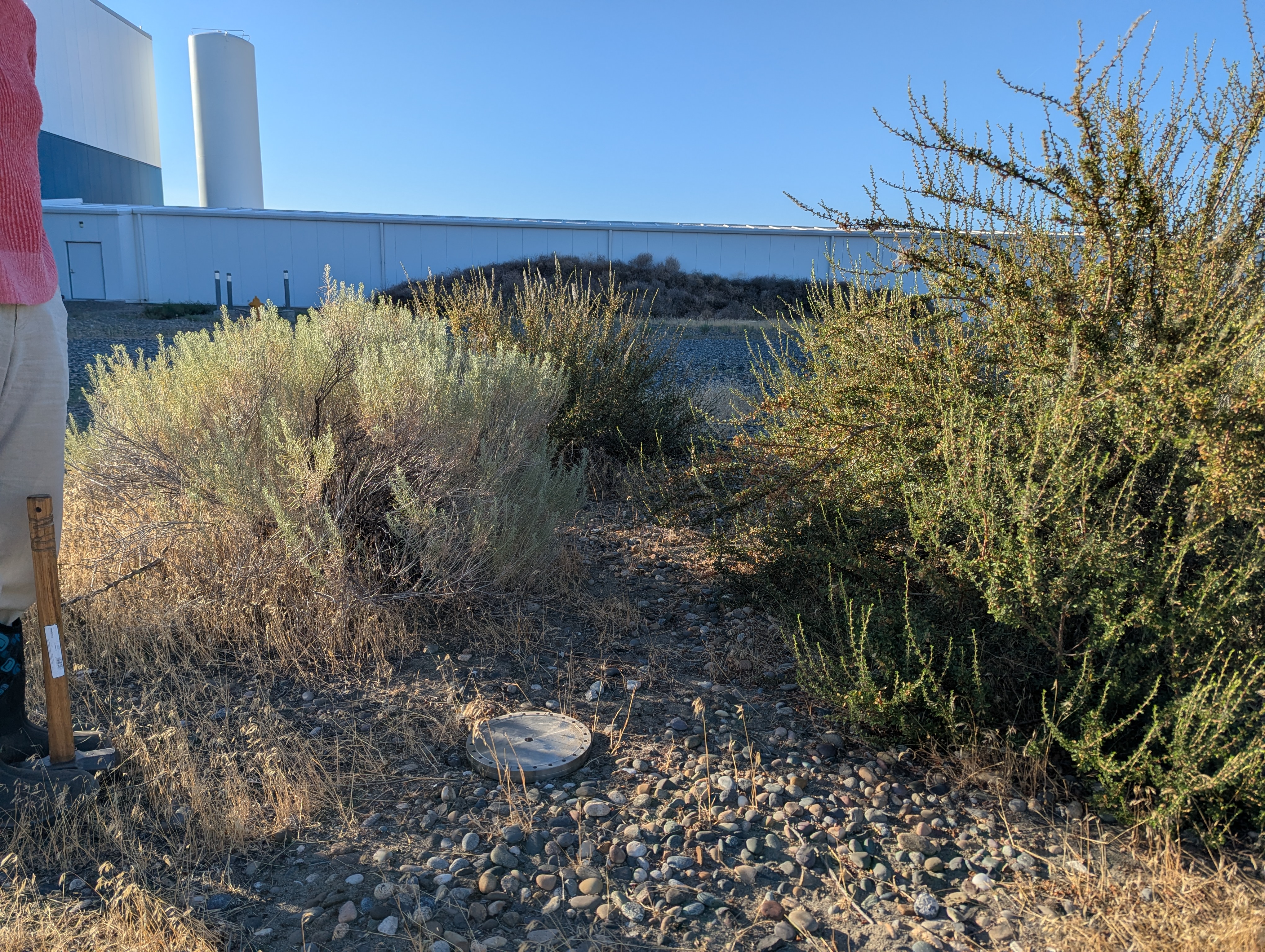
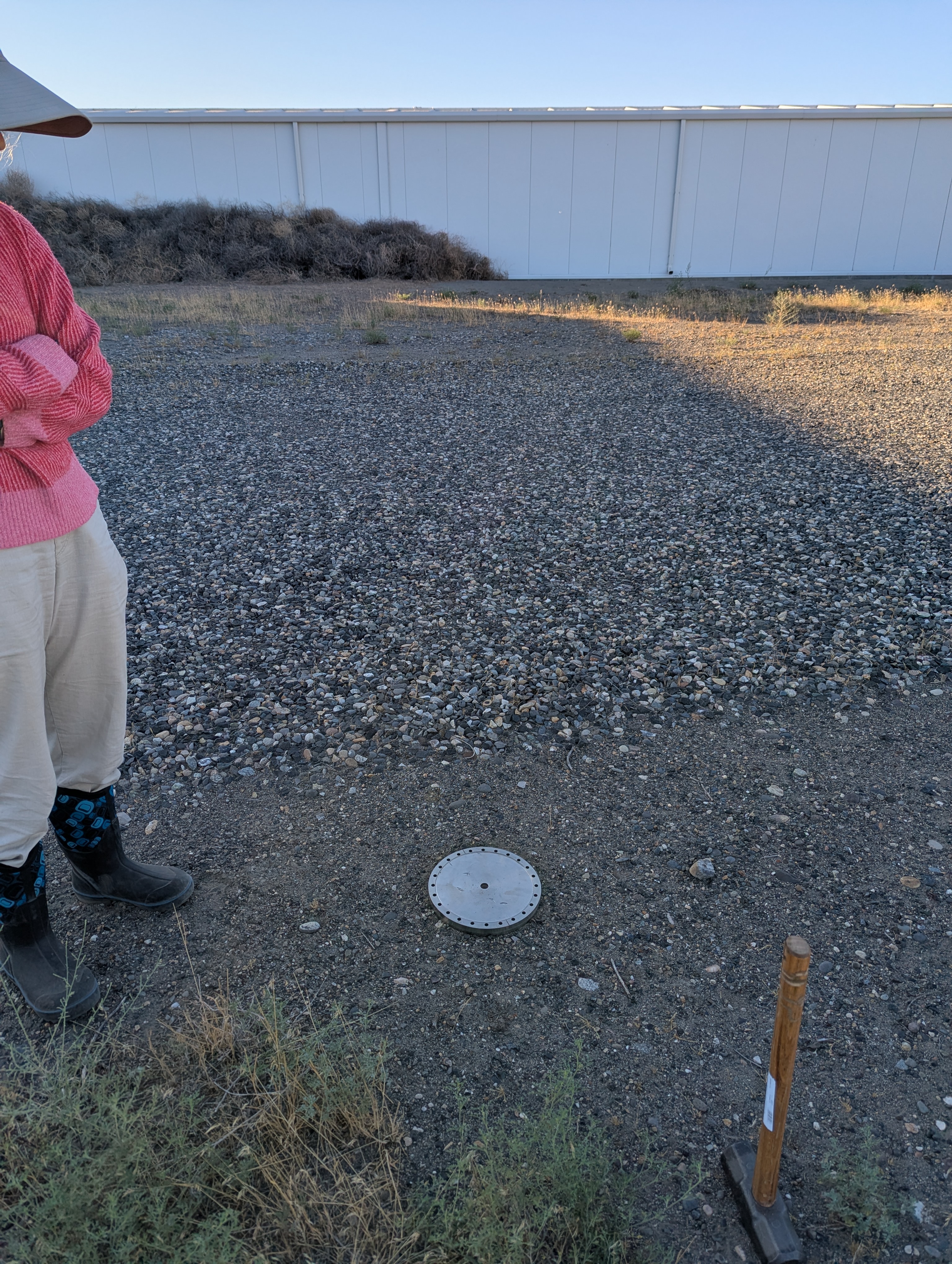
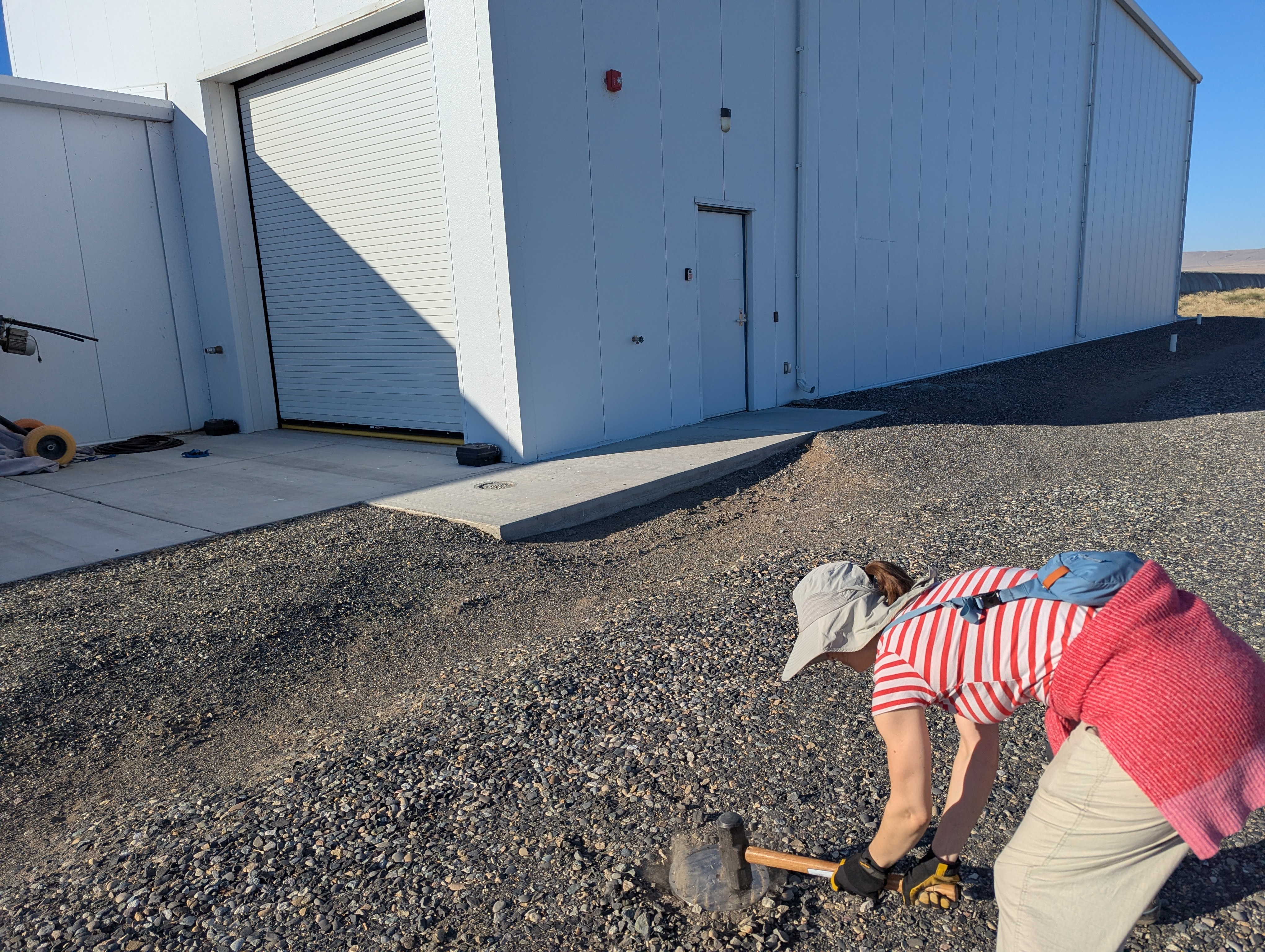
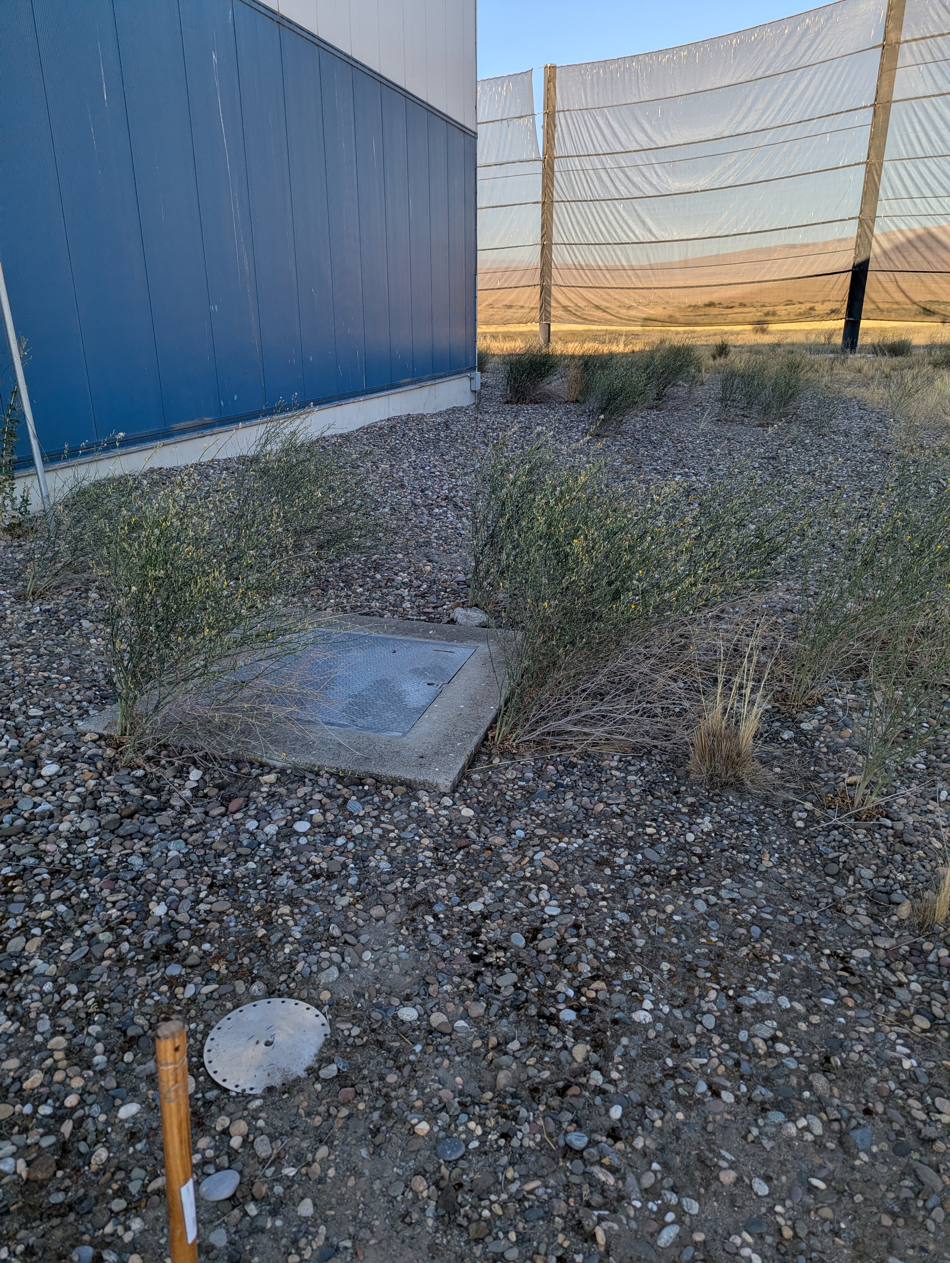
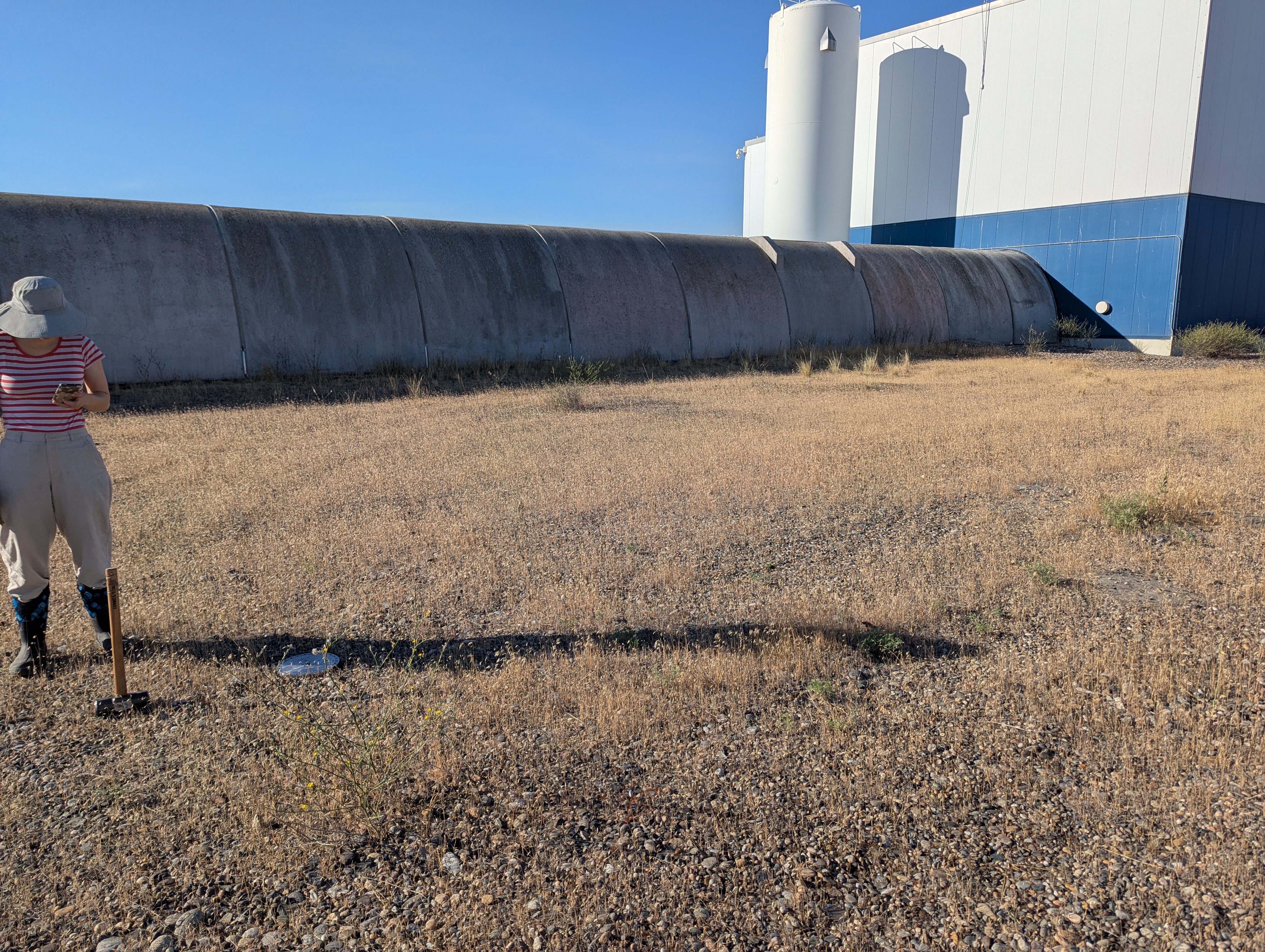
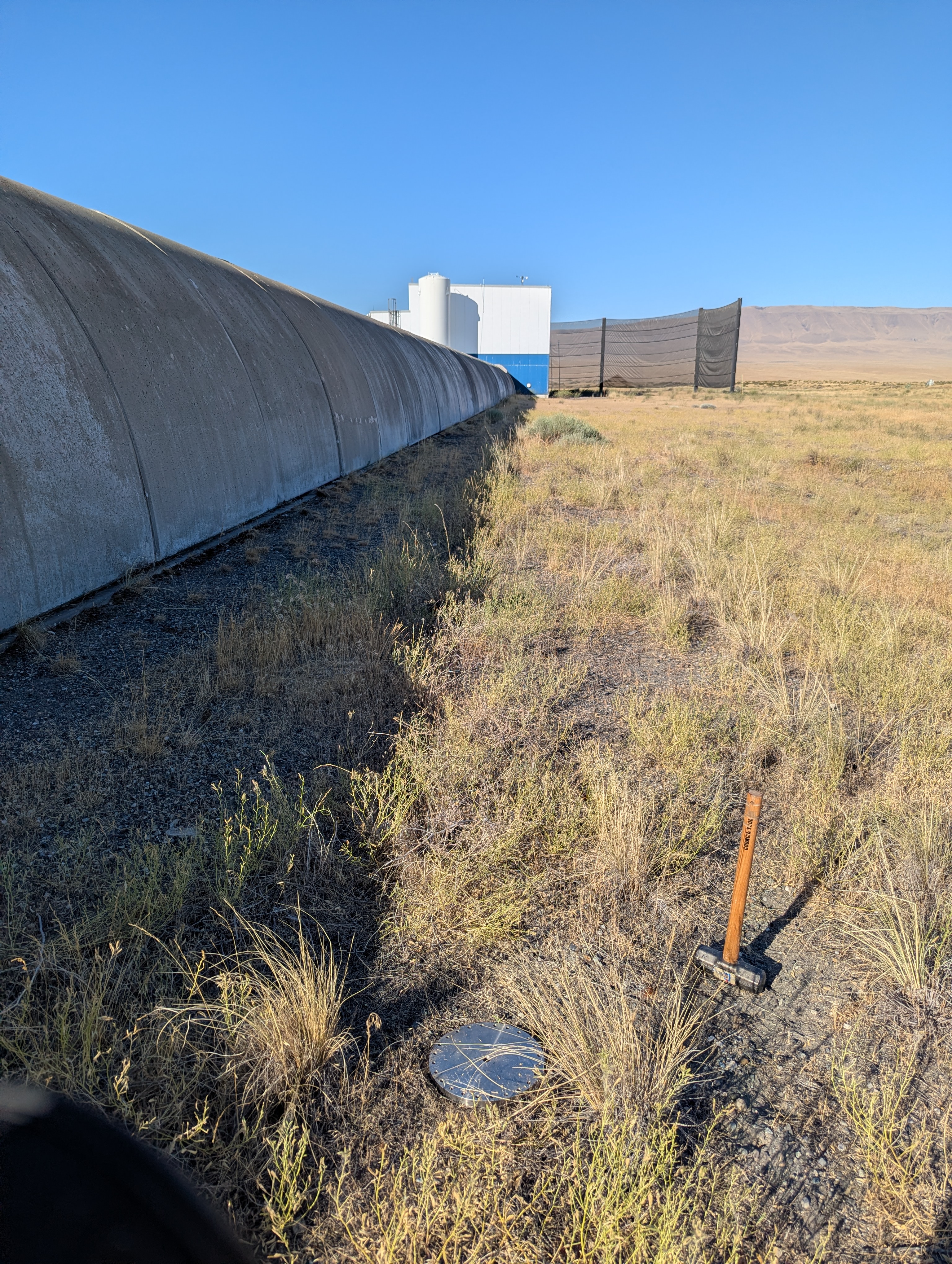
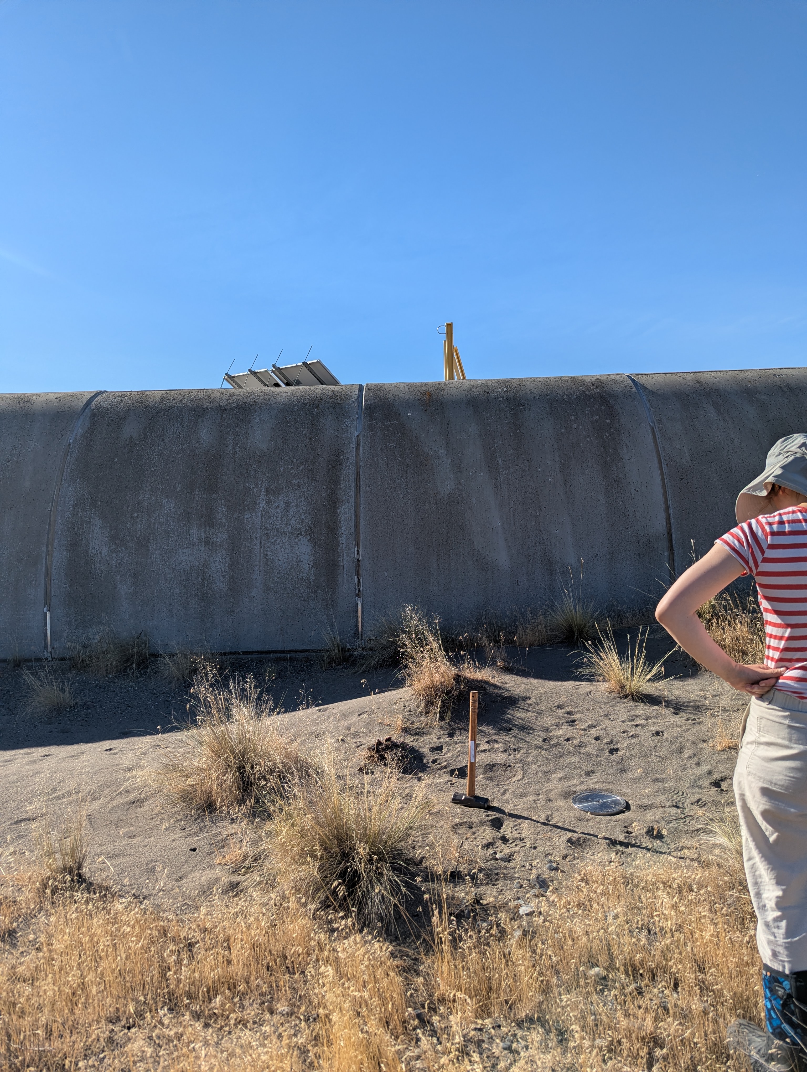
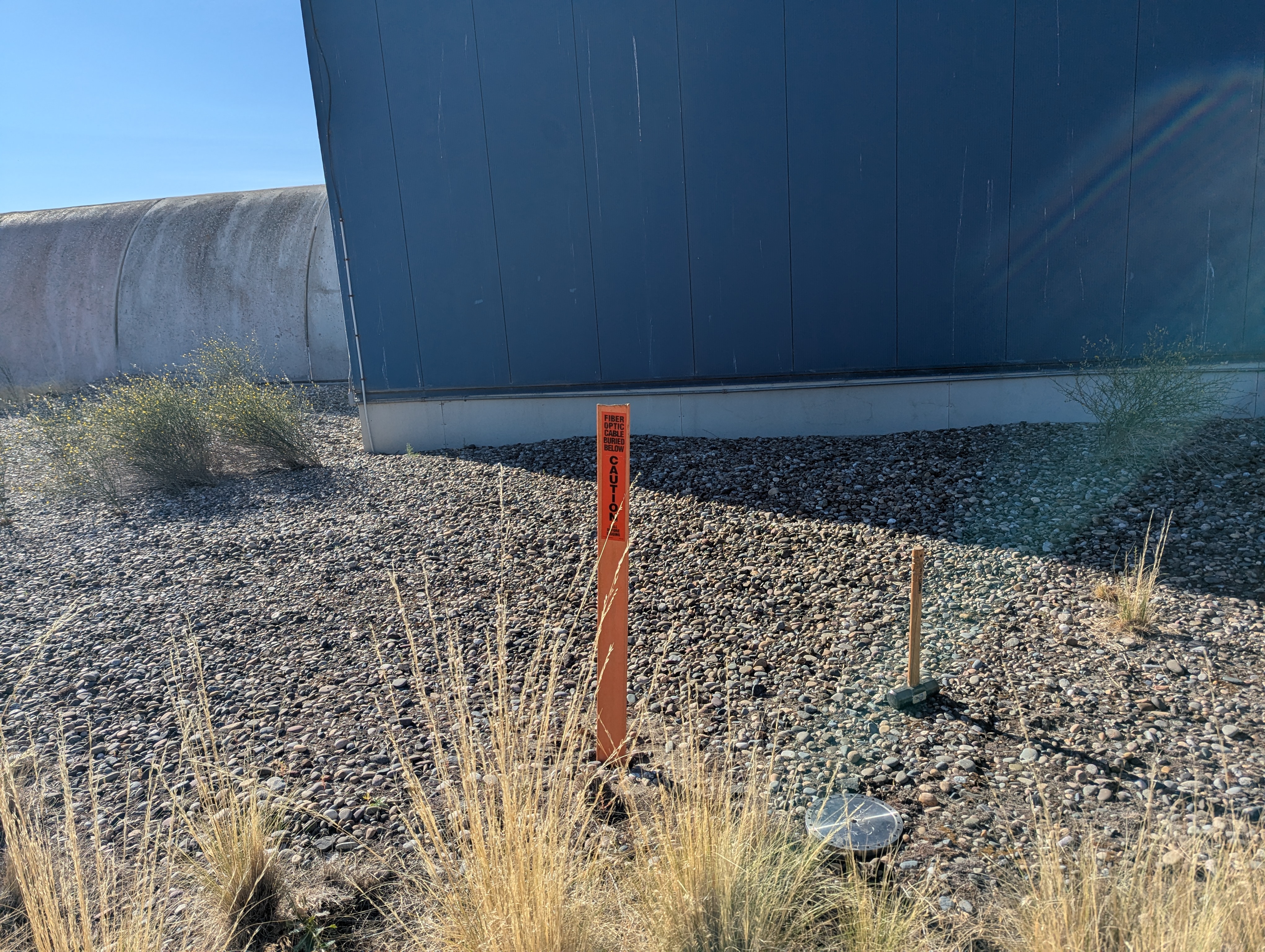
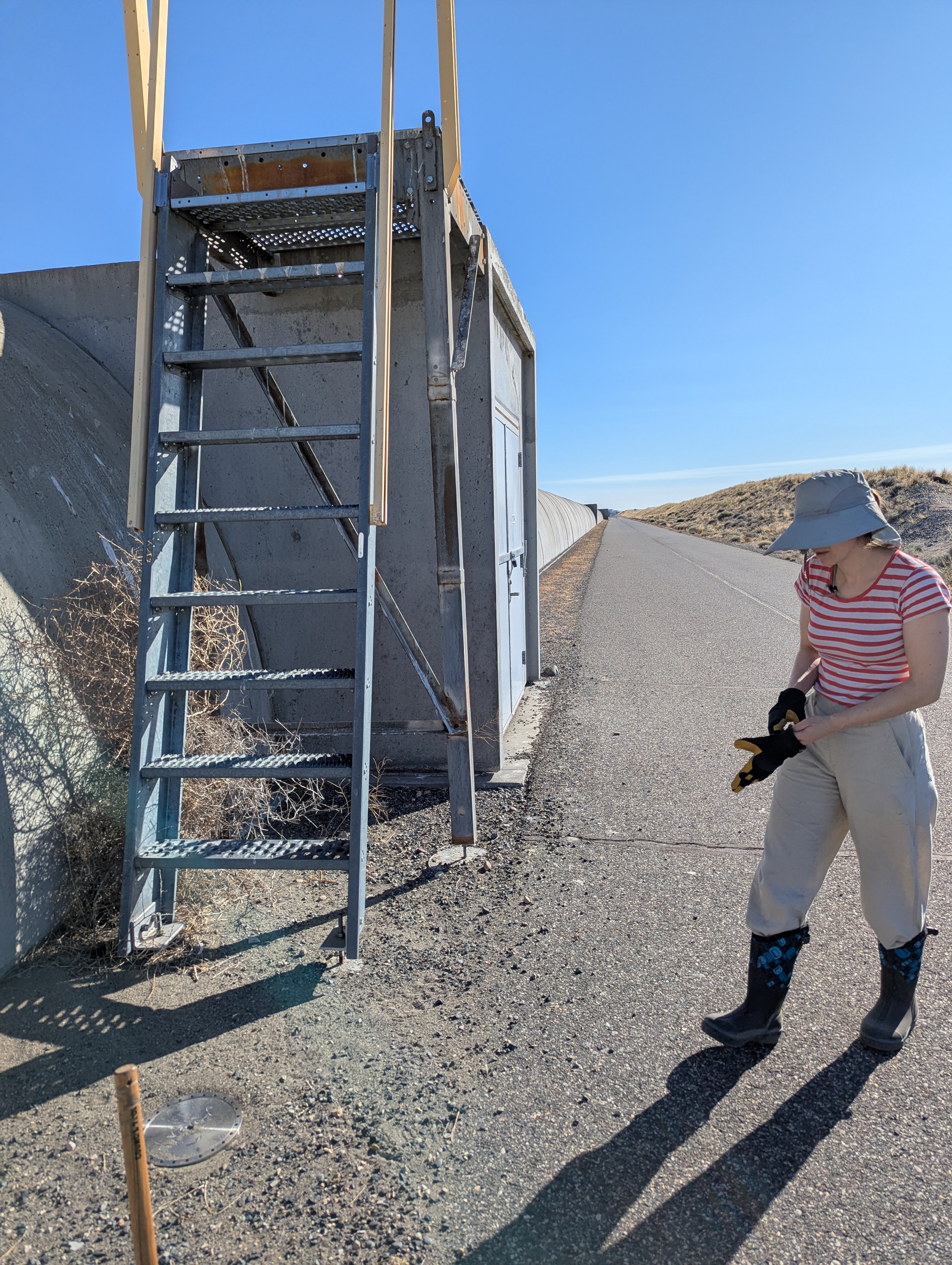
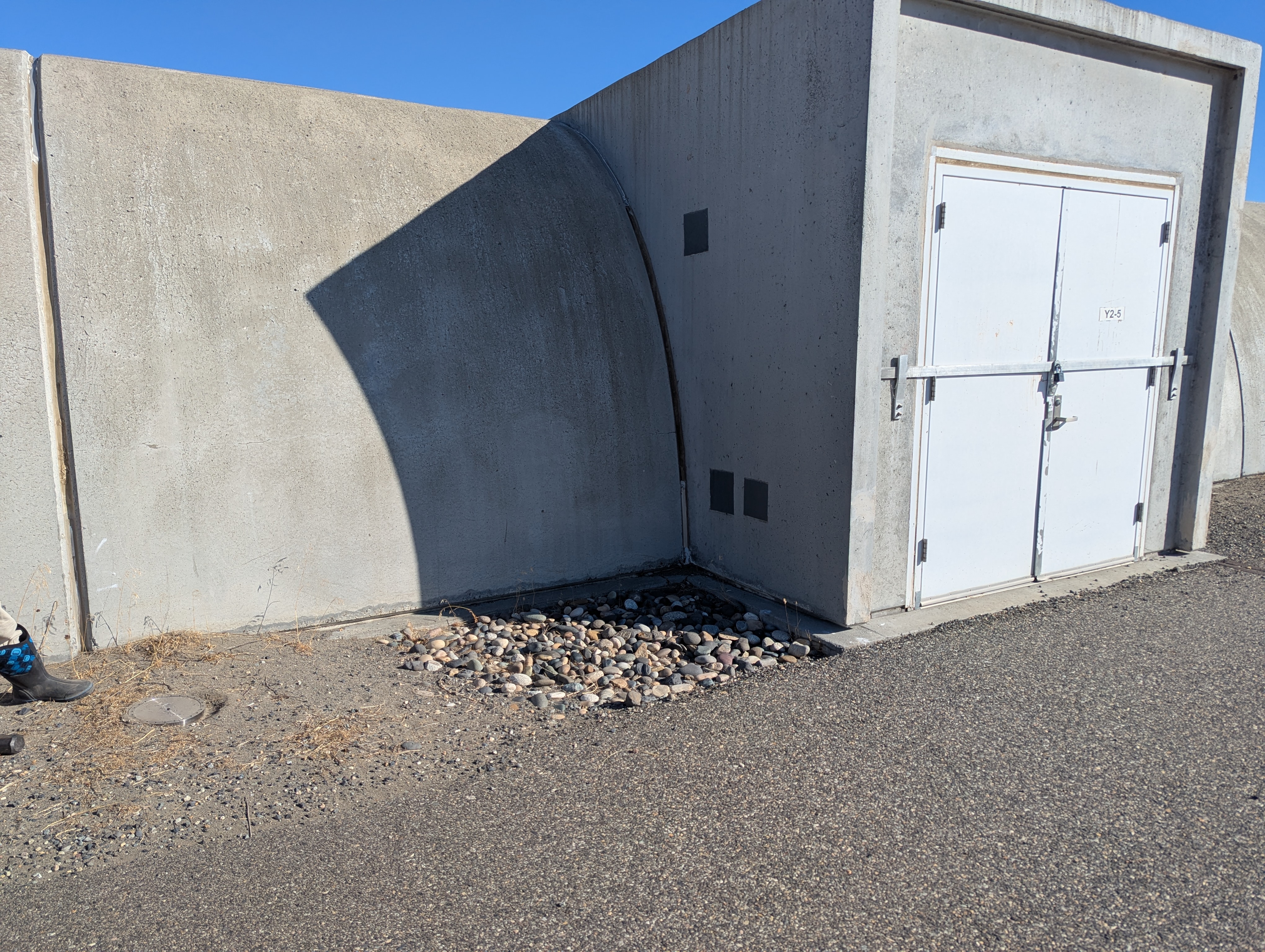
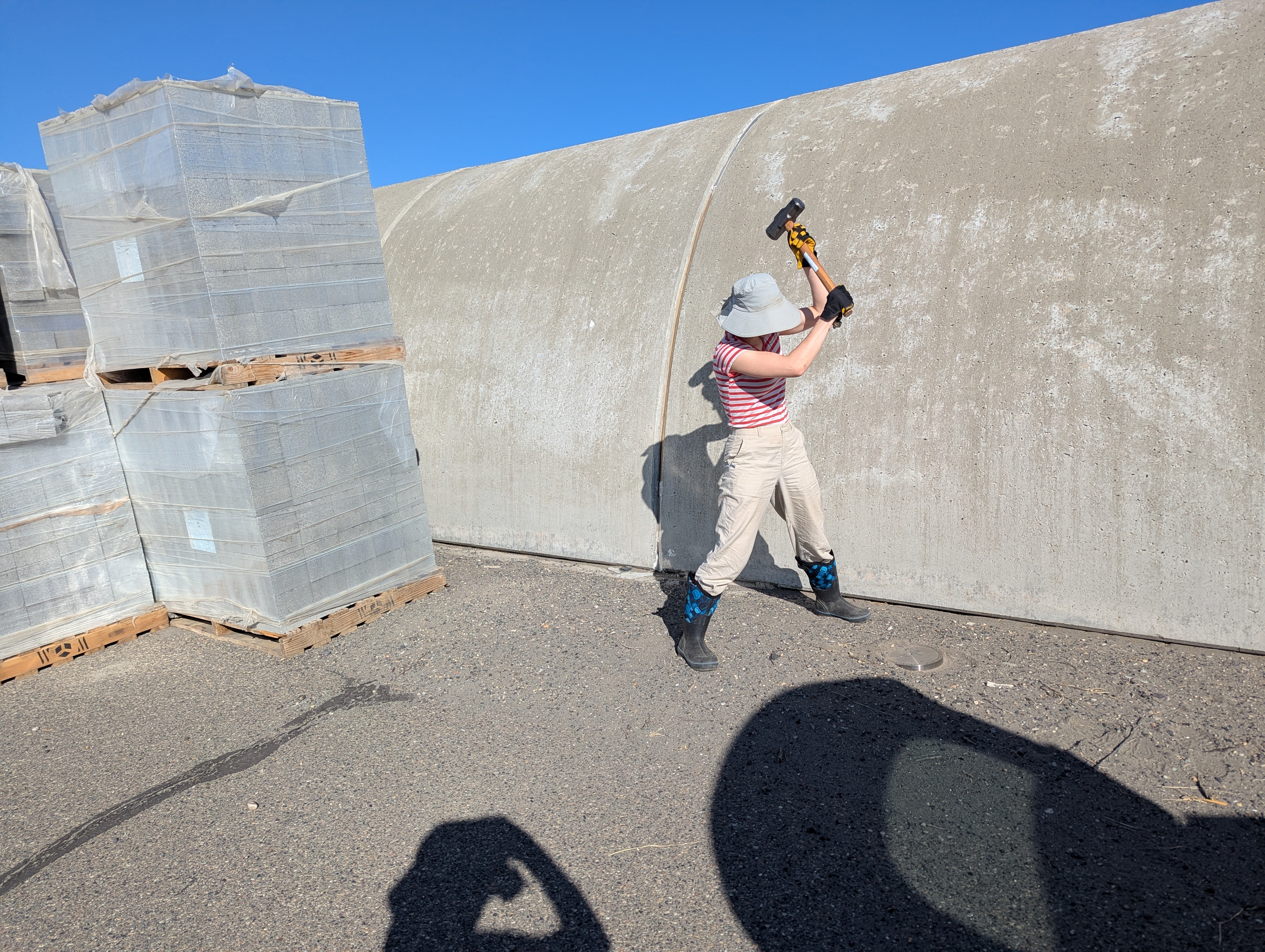
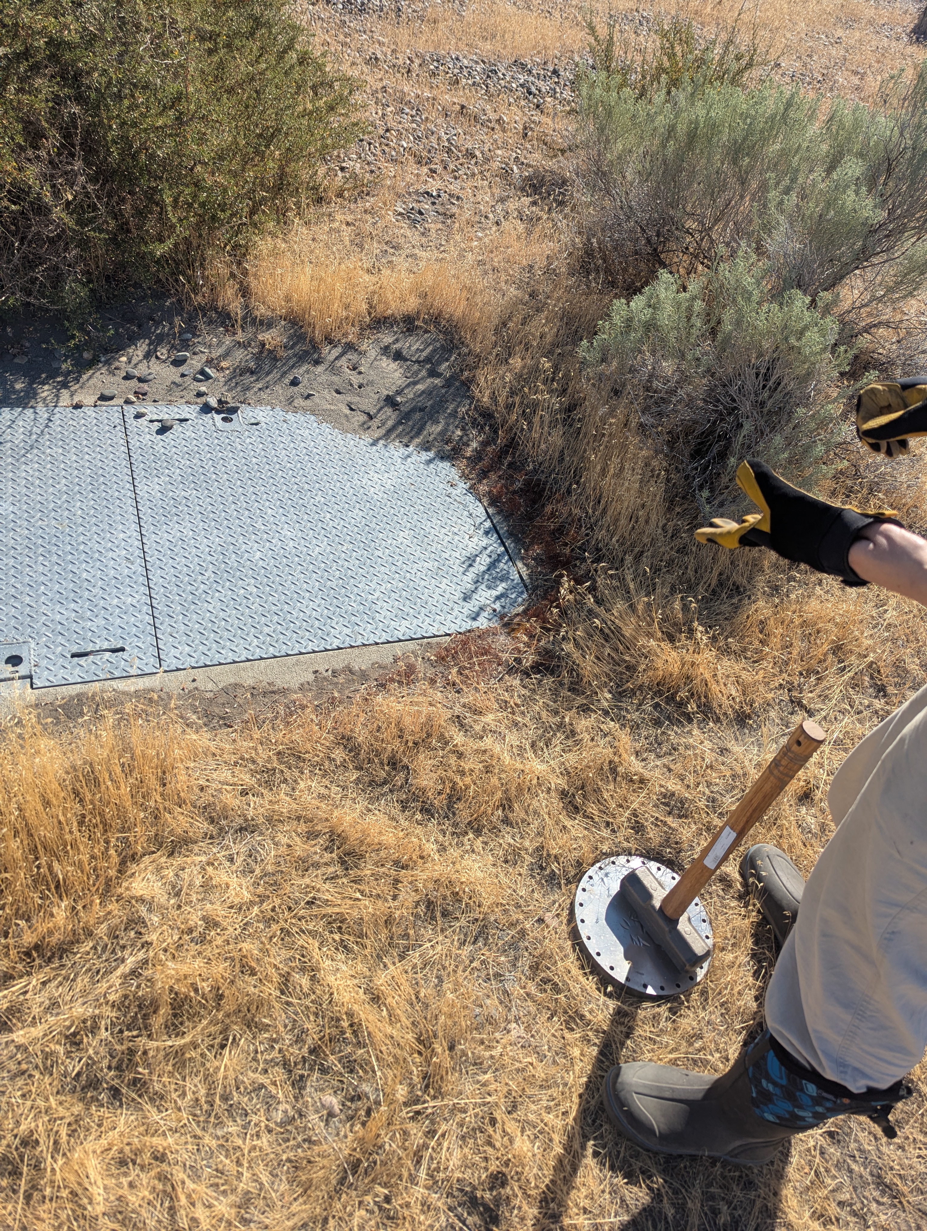
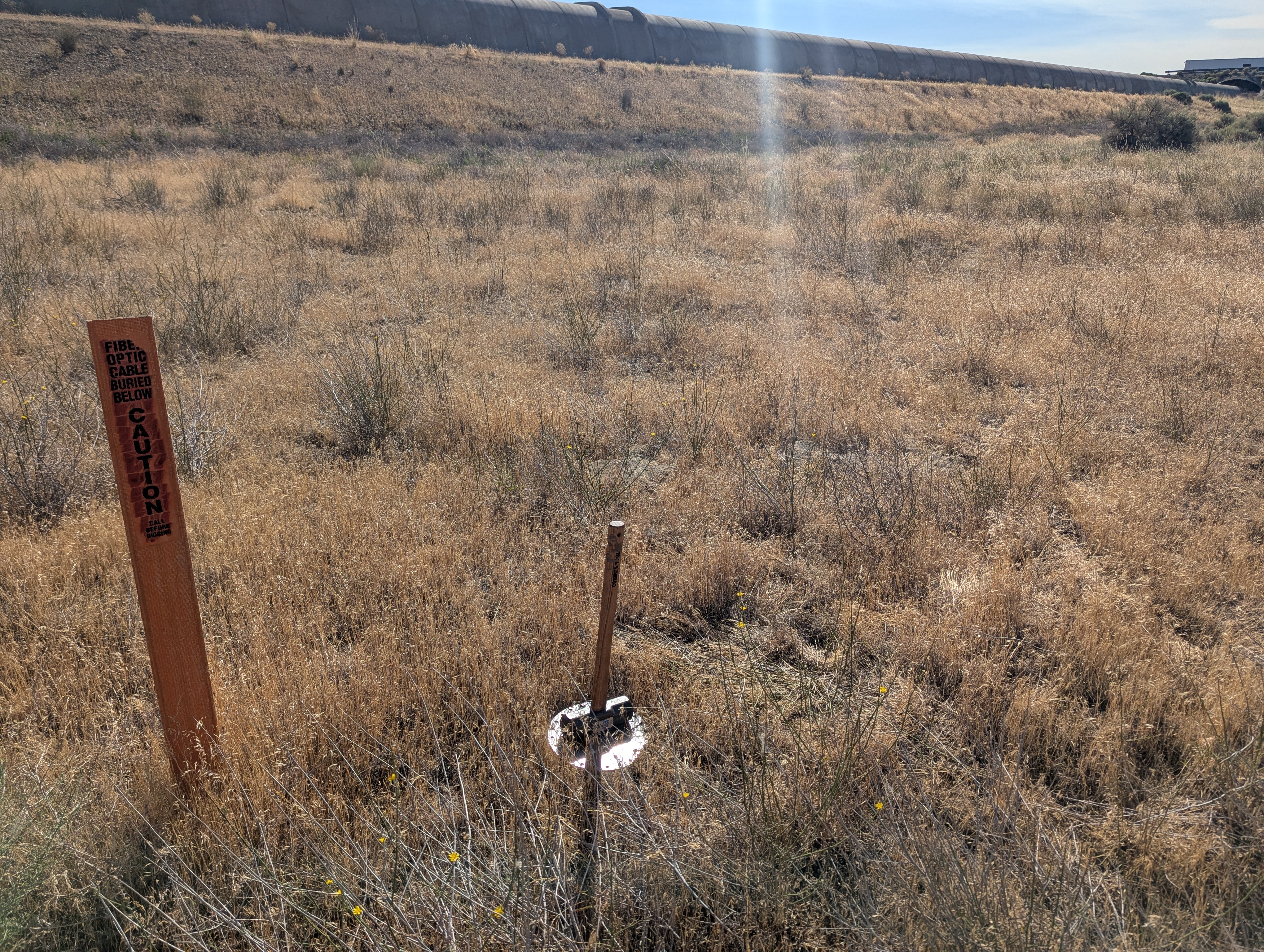
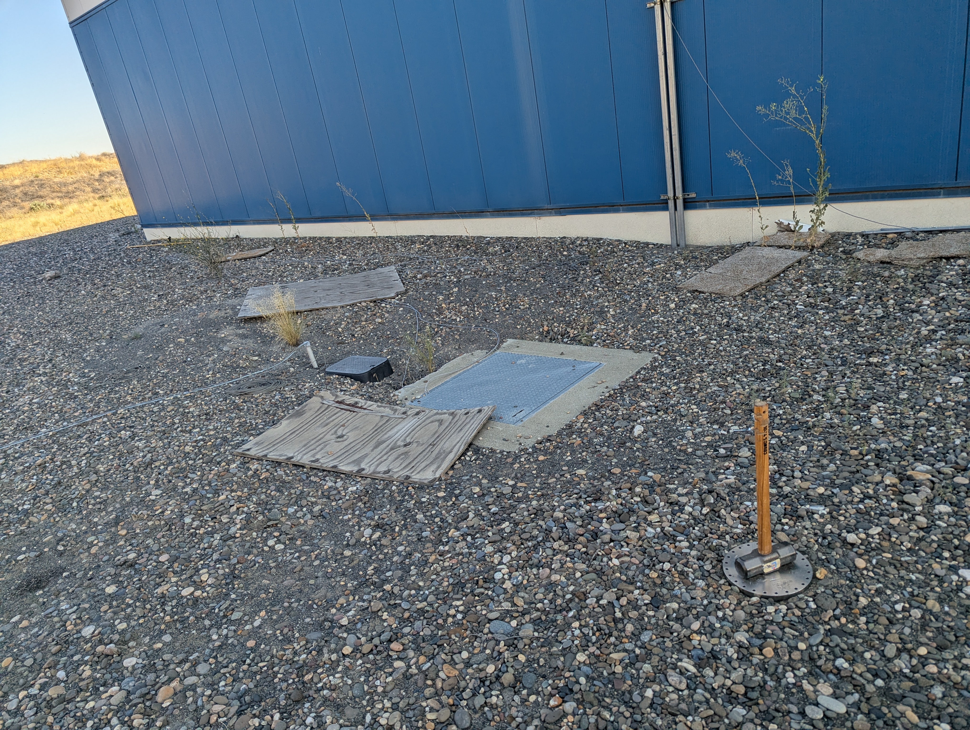
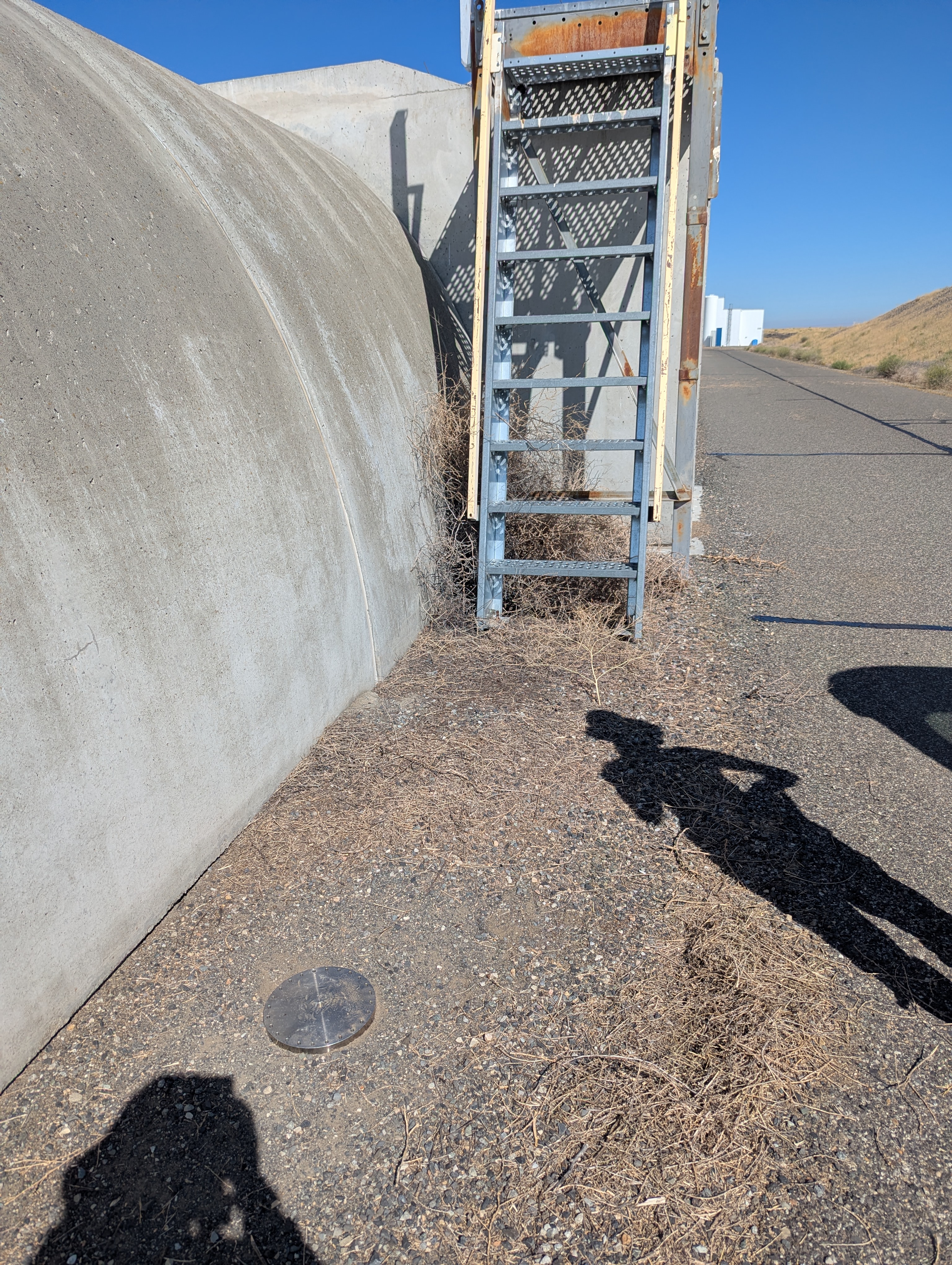
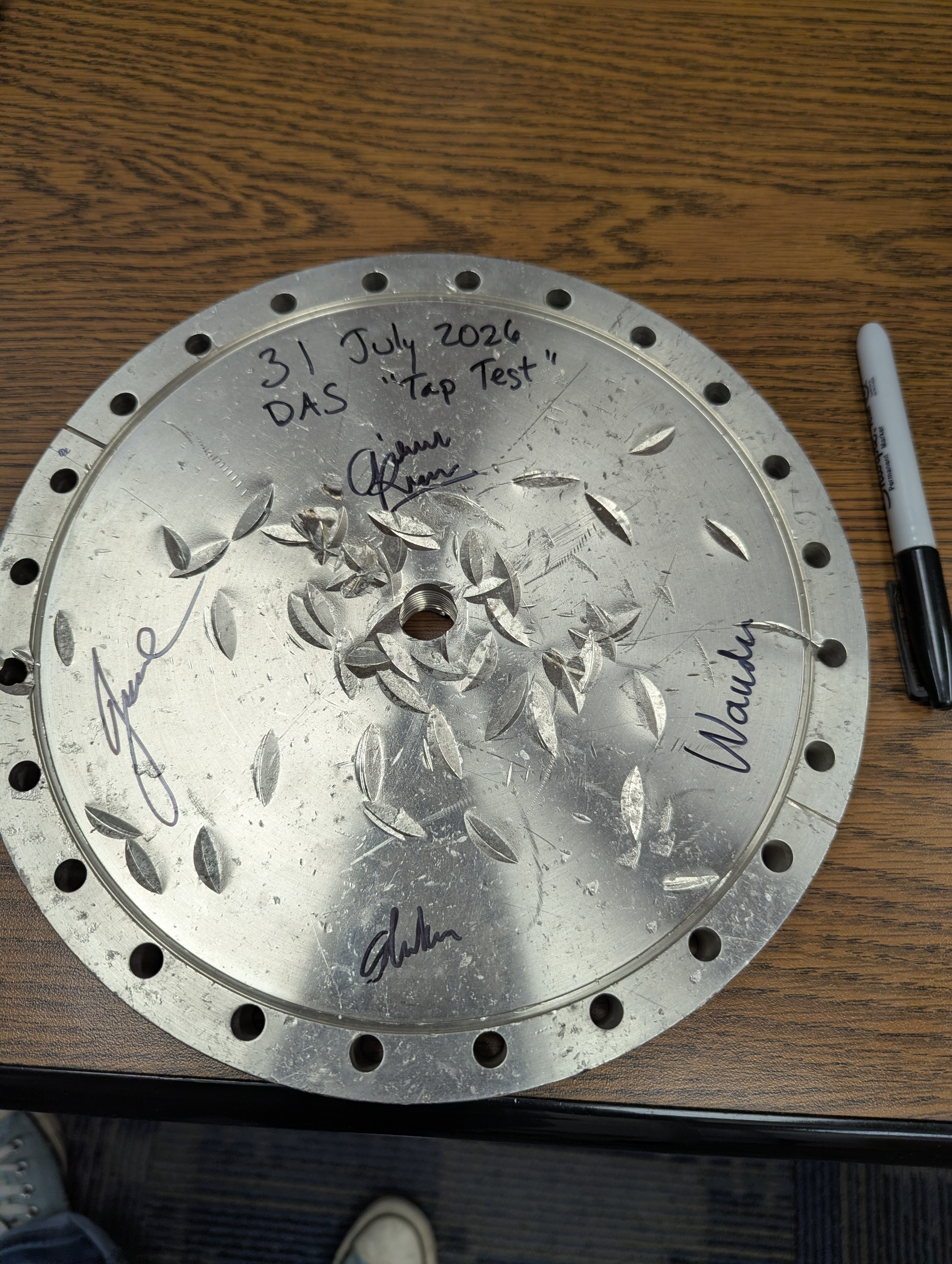
In the attached photos, you can see some examples of our tap test method. Gerardo provided us with a scrap piece of steel that we used as a strike plate. We also borrowed a sledgehammer from the mechanical / vacuum parts lab. For most of the Yarm, we only did 3 heavy strikes and Gizem and Shoshana chose the strongest signal from that as our time. Once we were on the road-side of Yarm, and then for all of Xarm, we added some light tapping that seems to have helped identify which distance bin (called a "channel" in DAS terminology) we were closest to. The photos are also labeled with X/Yarm, and position number, which corresponds to the position numbers in the google sheet - I tried to capture features in the photo to help identify where exactly the strike plate was.
Wanda has added to the google sheet the GPS locations that she identified while we were at each tap point.
The last photo shows our used (but can be used again in the future!) strike plate.





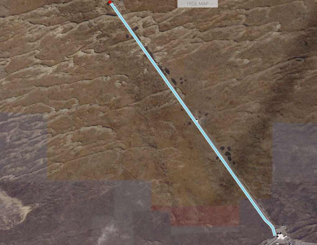
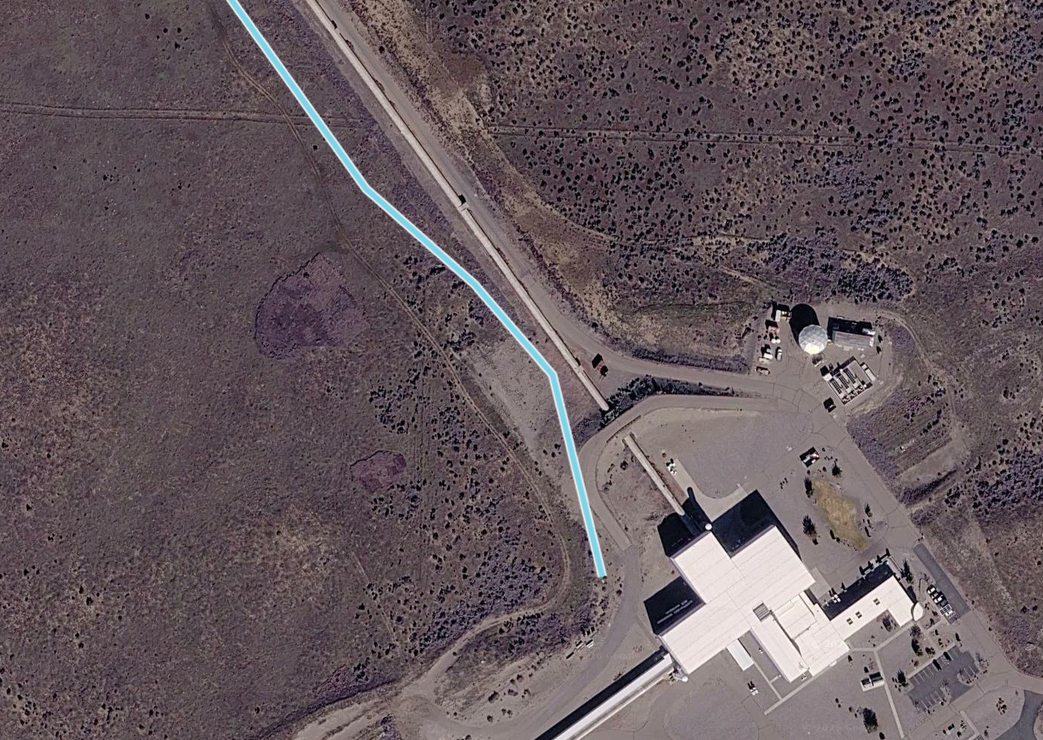
I have attached some screenshots which show what the referenced path looks like for the x-arm. Further, it demonstrates how the optical metres of the fibre are now referenced to a certain co-ordinate. With this, we can now correlate any events that we detect to a physical location. In this software, a straight line is drawn between two referenced points.
In picture 1, the whole arm is shown.
In picture 2, it is zoomed in on the area around the corner station, showing the limitations in our technique as it is relatively rough considering we know the fibre is curving at this point.
In picture 3, we see how hovering over the waterfall plot will produce a red point in the refenced fibre showing the location of this channel.